Database Search
- Indonesia
- Palangkaraya
- Photography
- LTP Geo Solusi
LTP Geo Solusi - Palangkaraya
0.0
0 Reviews


- Verified
Listing - +5Years
With Us
Company name
LTP Geo Solusi
Location
Palangkaraya, Menteng, Jekan Raya, Palangka Raya City, Central Kalimantan, Indonesia, Palangkaraya, Kalimantan
View Map
View Map
Contact number
Mobile phone
Establishment year 2015
Employees 6-10
E-mail address
Listed in categories
Company description
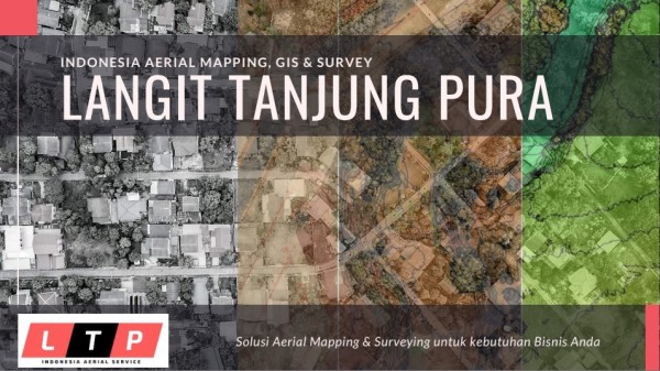
Kami penyedia layanan drone yang
inovatif, efisien dan handal dengan
memanfaatkan teknologi modern dan
terbaru UAV, modern LIDAR, metode
Survey Fotogrametri, serta teknik
pemrosesan data dari sensor drone
yang didukung software canggih.
Layanan kami menyediakan solusi
Aerial Mapping, GIS & Survey untuk
berbagai macam kebutuhan industri
seperti: Agriculture, Electric, GIS,
Mining, Construction, Energy, Oil &
Gas
Products & Services (3)
 Kami menyediakan jasa pemetaan udara
untuk Perkebunan, Pertanian & Kehutanan.
Dengan data yang kam...
Kami menyediakan jasa pemetaan udara
untuk Perkebunan, Pertanian & Kehutanan.
Dengan data yang kam...- Kami menyediakan jasa pemetaan udara
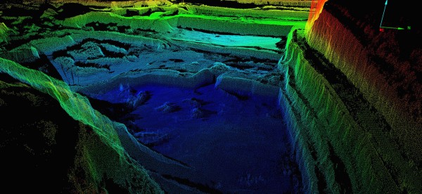
untuk bidang Energy & Pertambangan.
Dengan data yang kami amb...
- Site Intelligence for Oil & Gas
Manage operations at scale while
innovating across your sites
Our...


Reviews
This company has no reviews. Be the first to share your experiences!
Questions & Answers
Have questions? Get answers from LTP Geo Solusi or IndonesiaYP users. Visitors haven’t asked any questions yet.
Verified Business
The accuracy of the company profile for LTP Geo Solusi is validated by the company owner, representative, or directory administrator.
Last update on
Registered with us on
Last update on
Registered with us on